Contributor: Katherine Anderson, WSU Undergraduate Intern
Acknowledgements: Special thanks to Dave Bryla, USDA-ARS Research Horticulturist, for contributing to this article.
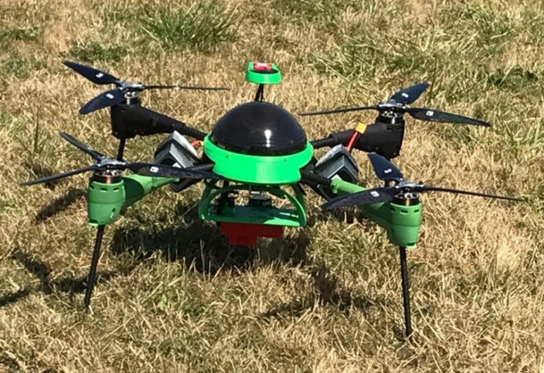
UAVs, otherwise known as unmanned, uncrewed, or unoccupied aerial vehicles, are perhaps best known for their aerial photography and videography capabilities. But they are also used in a variety of applications, including heat sensing and video monitoring. As the changing climate brings major weather events like the Heat Dome of 2021 to the Pacific Northwest, it is important to establish and innovate new methods for saving our domestic crops from heat damage. UAVs can assist us in assessing heat stress by recording canopy development and estimating irrigation water requirements of berry crops. One of the major benefits to using UAVs for this purpose is speed, as 10 acres can be imaged in only 20 minutes.
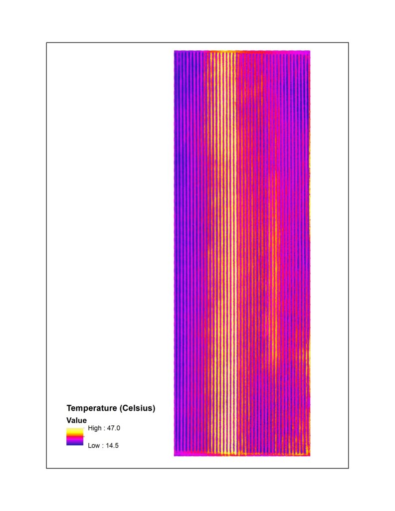
The way UAVs work to assess heat damage is through multispectral and thermal imaging cameras. Equipping a UAV with this technology can be used to monitor plant health and canopy temperature in the field. These cameras can detect heat-stressed plants that are warmer and absorb less visible (red) light than unstressed plants. Hyperspectral cameras, a higher spectral resolution camera, are also available and can be used to separate grass and weeds from berry bushes and detect subtle issues, such as plant diseases and nutrient deficiencies.
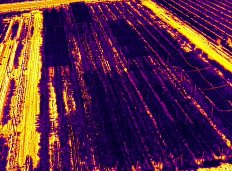
Water conservation is another concern as growing season temperatures increase, and UAVs can help us find out what blocks of a field need more irrigation water. Plant water requirements are directly correlated to the amount of canopy cover in a field, which can be detected through multispectral imaging. This is done by developing relationships between canopy cover and crop coefficients for specific crops, such as raspberries, and then using the coefficients to calculate crop water use based on current weather conditions.
All is not perfect with this new technology. One drawback of using UAVs in research is that it takes hours to analyze each set of images captured with a UAV. Methods, such as artificial intelligence (AI) and machine learning, are currently being investigated to speed up the process.
Further development is needed to streamline this technology and make it understandable for the average farmer. Though UAVs are useful for quick, visual assessments of problems in fields, processing images with multispectral light is more complicated. Currently, there are services available that will capture and process these images for a fee and provide useful information for making farming decisions. The research being conducted to streamline the UAV imaging process will ultimately provide information that will help improve the value of these services.