
![]()
ENGAGER – Skill Level: Two
Activity:
Understanding Parks and Impacts through GIS
Objective: Learn about Geospatial Mapping (GIS/GPS)
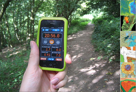
Science Skills: GPS/GIS technology, Predict, Observe, Collect Data, Collaborate, Solve Complex Problems
Life Skills: Teamwork, Keeping Records, Cooperation
Preparation Activities: Review the Facilitator’s Guide and Youth Guide linked in “Explore More” for a complete list of activity requirements. Ask your Extension office for prepared project kits.
What You Will Need:
– Transparencies copied with grids
– Dry erase pens
Activity:
A) Work as a team to design a park
B) Work as a team to solve a pressing community issue using geospatial data
Consider entering your park design in the National Science Experiment!
Finished this Activity?
Explore More
Contact your local Extension Office for information about GPS equipment
4-H Maps Apps Facilitator Guide
U.S. Fish and Wildlife Service
It’s All Connected:
Intermediate Park Passport Booklet